This interactive mapping tool ca be used to target stream restoration opportunities that will improve aquatic connectivity, restore important fish habitat, and increase flood resiliency. The data displayed in the mapper can help guide conservation efforts, such as prioritizing culvert replacements in a watershed, designing restoration projects, or evaluating potential threats to aquatic habitats or sensitive species.
Data Layers in the Mapper
Stream Crossings (culverts and bridges) that have been surveyed and scored for aquatic organism passage, inadequate at transporting water and sediment downstream, and pose a flood risk.
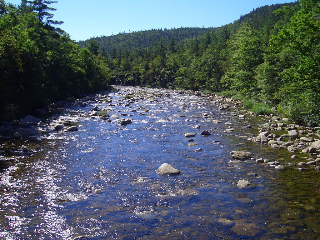
NHFG Aquatic Wildlife Action Plan Fishery Priority Data The Inland Fisheries Department has collected fish data at over 4,000 sites since 1983. The data is used in fisheries management, conservation planning, water quality assessments, and education. The layer identifies streams where species of concern and Eastern Brook Trout have been found, as well streams predicted to be coldwater habitat. T
 Fish and Game Restoration Interest Areas This layer highlights (in yellow) stream reaches that the Department of NHFG inland fisheries and marine division have identified to be important to the recovery and sustainability of healthy cold water and anadromous fish populations.
Flood Hazards at Roads The New Hampshire Geological Survey has recorded instances of road floods from towns’ Hazard Mitigation Plans. This layer can be used to identify the problem crossings in your town that are known to flood and cause issues.
Environmental and Conservation Layers Several layers are displayed in the mapper that are useful in targeting areas for restoration and land preservation opportunities.
Conservation Parcels NHFG Wildlife Action Plan Habitat Tiers
Aquifer Transmissivity National Wetland Inventory
Designated Rivers Land Parcels
Dam Inventory National Hydrography Watersheds and Streams
Trouble Shooting
If you are experiencing problems with the Mapper, here are some quick fixes for error messages you might receive about layers not loading. Please try these tips before reaching out to Lori Sommer or Cheryl Bondi with concerns about the ARM Mapper. Clearing the Cache –If you go to the mapper, and layers are not loading, the first thing to try is clearing your browser cache. Modern web browsers try to store and pre-load information from websites that you routinely visit to speed up the experience. This information is stored in the browser’s cache and sometimes, even though this achieves the goal of loading web pages faster, it helps perpetuate errors that may no longer actually exist in the website. This means that if the last time you the mapper it had some trouble loading one or more layers, it will continue to appear like this is so until you clear out the browser cache. Instructions for clearing the cache across different browsers can be found here: https://clear-my-cache.com/en/windows.html. Going Undercover – Incognito or Private Mode – Changing to a browser’s “private” or non-tracking/cache building mode will force it to load the website completely and not reference any historical files/shortcuts it might have stored during previous visits. Here are instructions on how to use a browser’s non-tracking/private mode: https://www.howtogeek.com/269265/how-to-enable-private-browsing-on-any-web-browser/